
Technology
Digital Delivery and
BIM Coordination
Digital Delivery and BIM Coordination
By leveraging digital models and structured information, we improve buildability, reduce risk, and enable smarter decision-making at every stage of the project. Our commitment to digital excellence ensures a seamless transition from concept to construction, delivering clarity, efficiency, and control.
Scan To BIM
Scan to BIM (S2B) is a digital construction process that starts by scanning a physical space using tools like laser scanners or drones, then processing the data into a point cloud, and finally building a detailed 3D model (usually in software like Revit or ArchiCAD). This model includes both geometry and, optionally, information like materials, dimensions, and system metadata.
Project Preparation
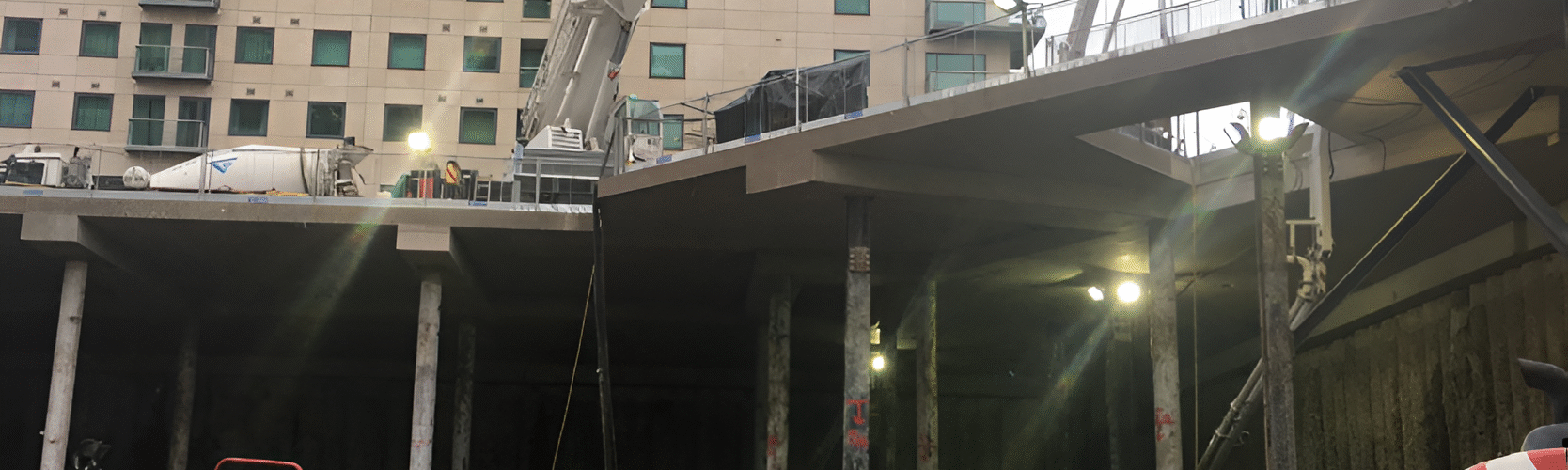
Define scope of work
Identify deliverables and LOD (Level of Detail)
Site access planning and safety procedures
3D Laser Scanning / Photogrammetry
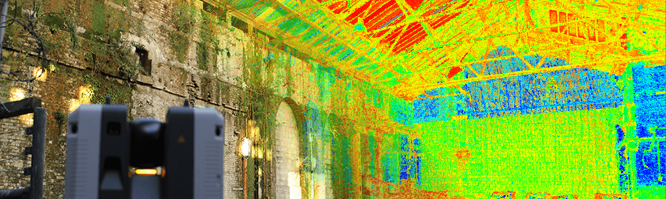
Use LiDAR scanners, drones, or structured light scanning
Capture point cloud data (raw spatial data)
Data Registration and Processing
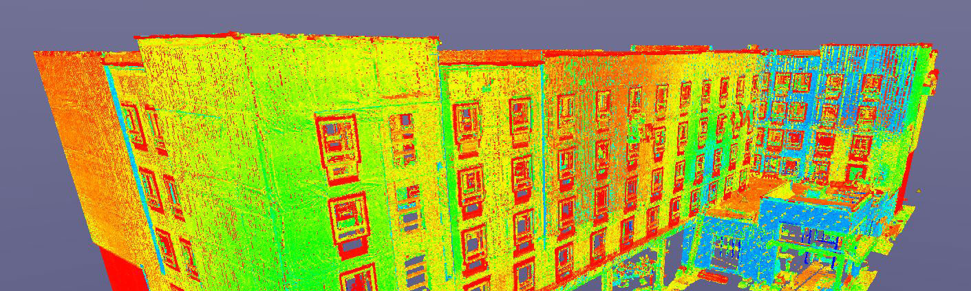
Align and merge multiple scans into a single point cloud
Clean and optimize the point cloud for modeling
Convert into usable file formats (e.g., .rcs, .e57, .las)
Import into BIM Software
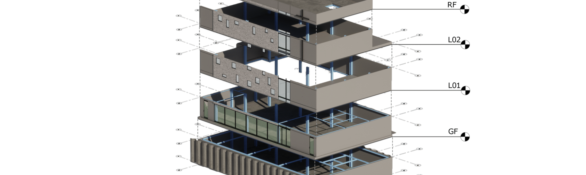
Import point cloud into tools like Revit, ArchiCAD, or Navisworks
Set up views, levels, and reference planes
Convert into usable file formats (e.g., .rcs, .e57, .las)
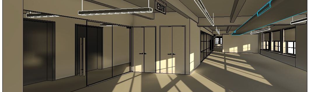
Model Creation
Create geometry (walls, floors, columns, roofs, MEP elements, etc.)
Follow agreed LOD (e.g., LOD 200, 300, 400)
Include materials, parameters, families as needed
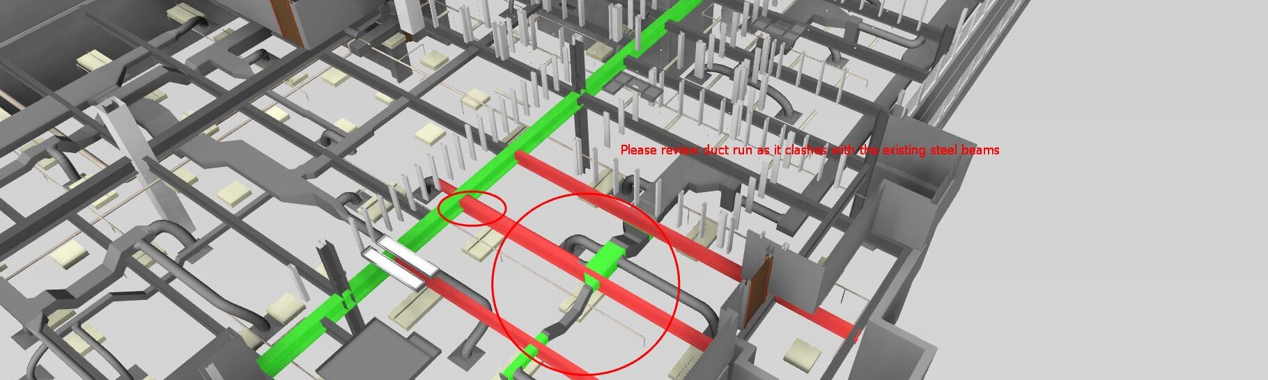
Quality Control & Validation
Clash detection
Compare against original point cloud
Visual inspections & coordinate checks
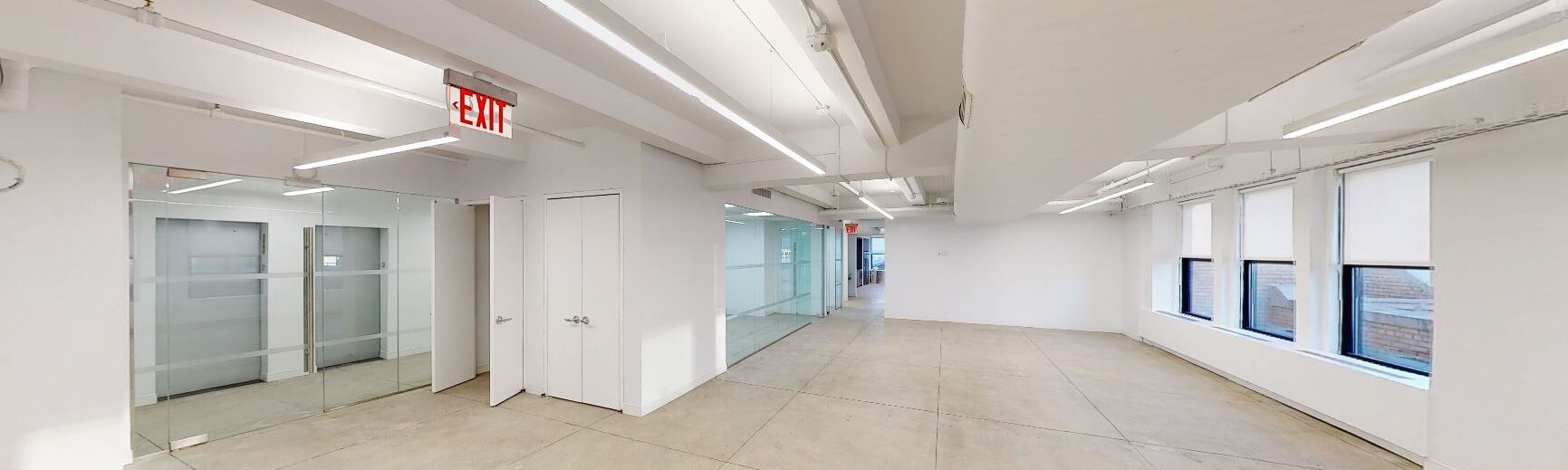
Delivery
Export BIM model (e.g., Revit, IFC)
Provide point cloud and documentation
Handover for design, FM, or renovation use
Project Preparation
Define scope aof work
Identify deliverables and LOD (Level of Detail)
Site access planning and safety procedures
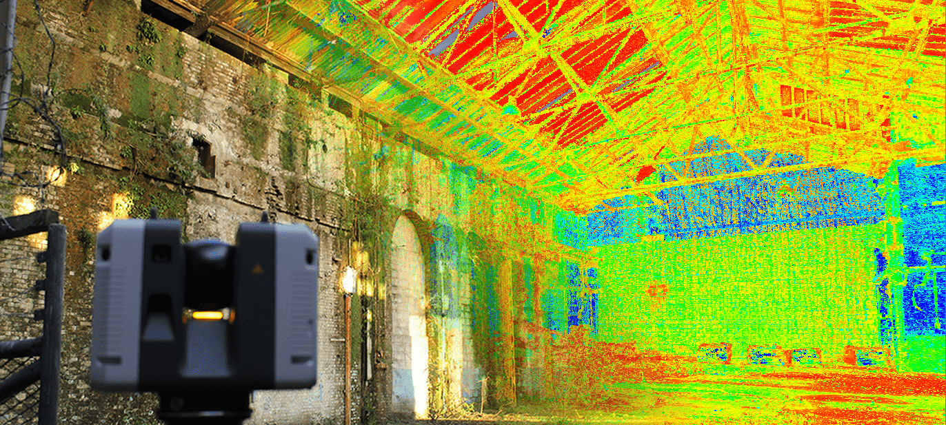
3D Laser Scanning / Photogrammetry
Use LiDAR scanners, drones, or structured light scanning
Capture point cloud data (raw spatial data)
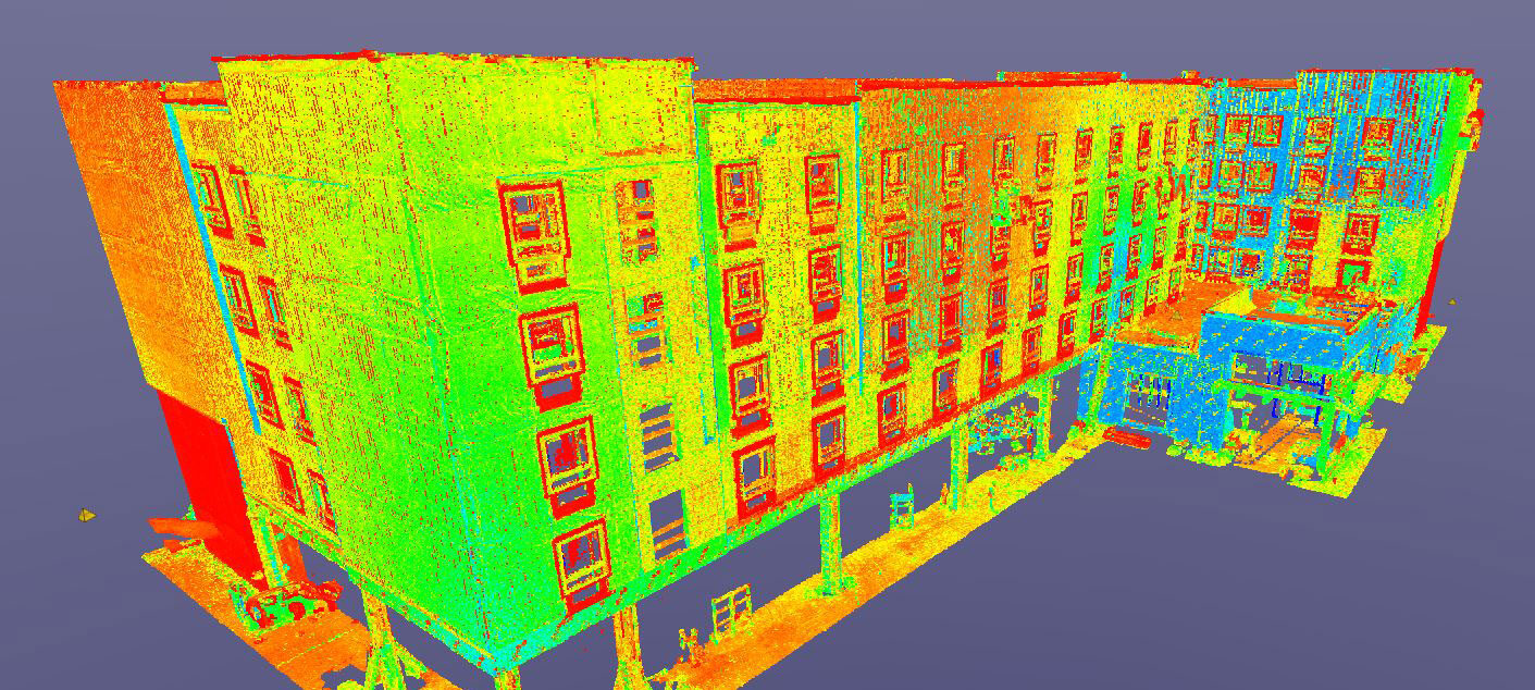
Data Registration and Processing
Align and merge multiple scans into a single point cloud
Clean and optimize the point cloud for modeling
Convert into usable file formats (e.g., .rcs, .e57, .las)
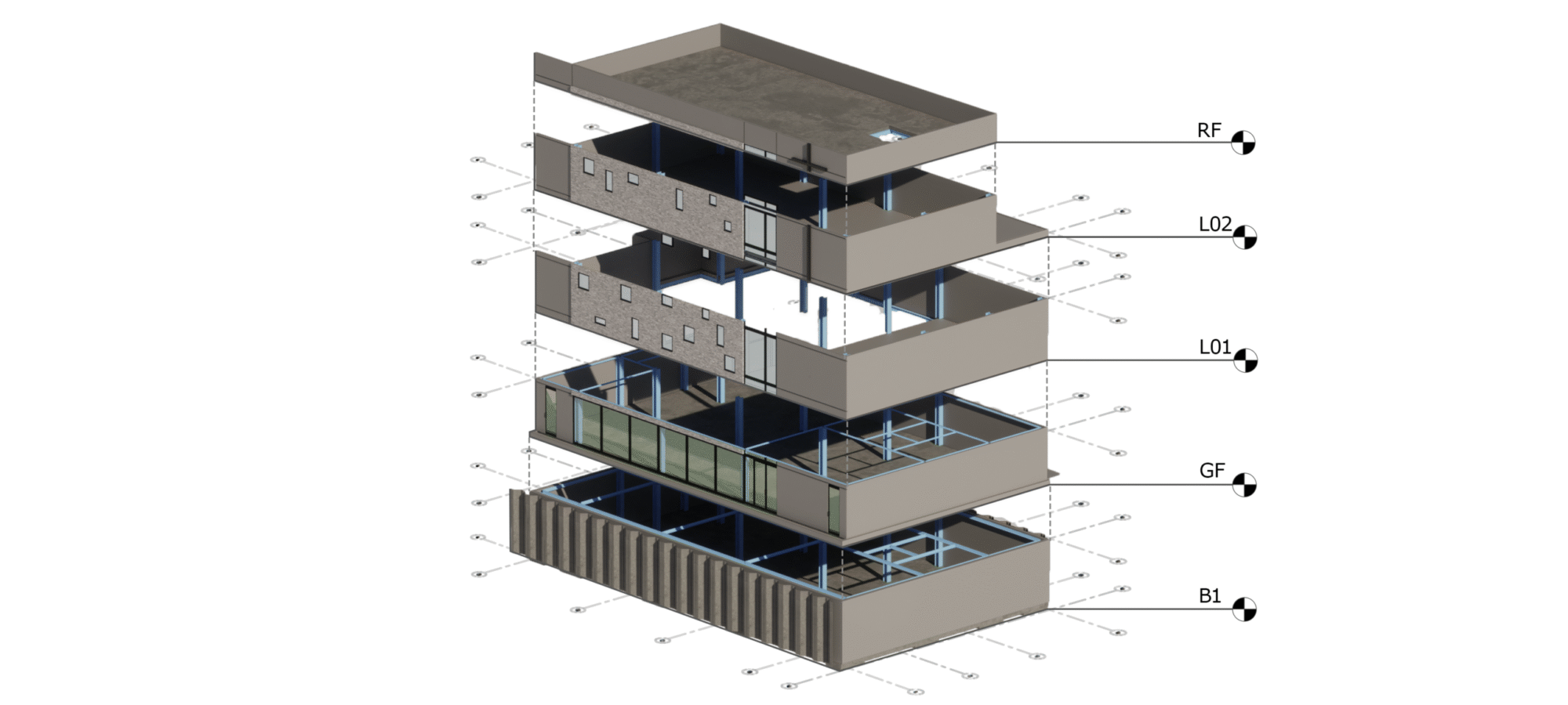
Import into BIM Software
Import point cloud into tools like Revit, ArchiCAD, or Navisworks
Set up views, levels, and reference planes
Convert into usable file formats (e.g., .rcs, .e57, .las)
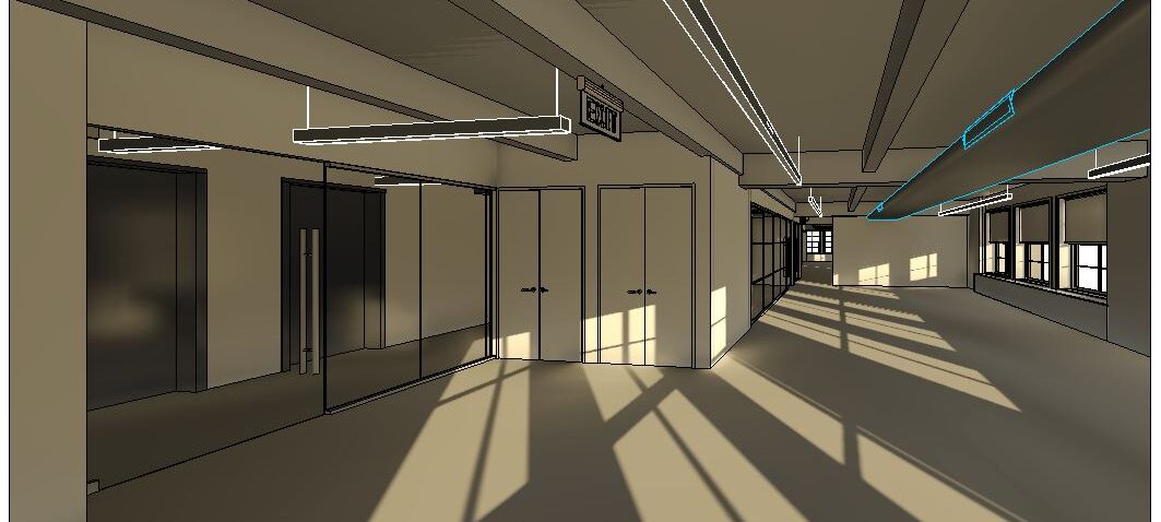
Model Creation
Create geometry (walls, floors, columns, roofs, MEP elements, etc.)
Follow agreed LOD (e.g., LOD 200, 300, 400)
Include materials, parameters, families as needed
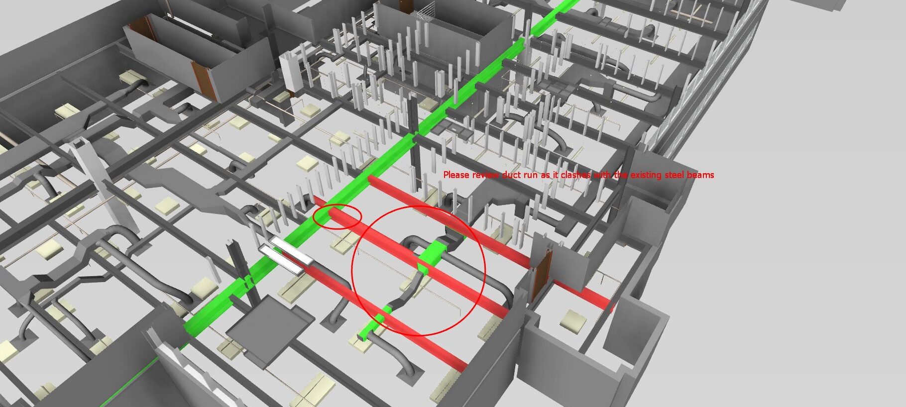
Quality Control & Validation
Clash detection
Compare against original point cloud
Visual inspections & coordinate checks
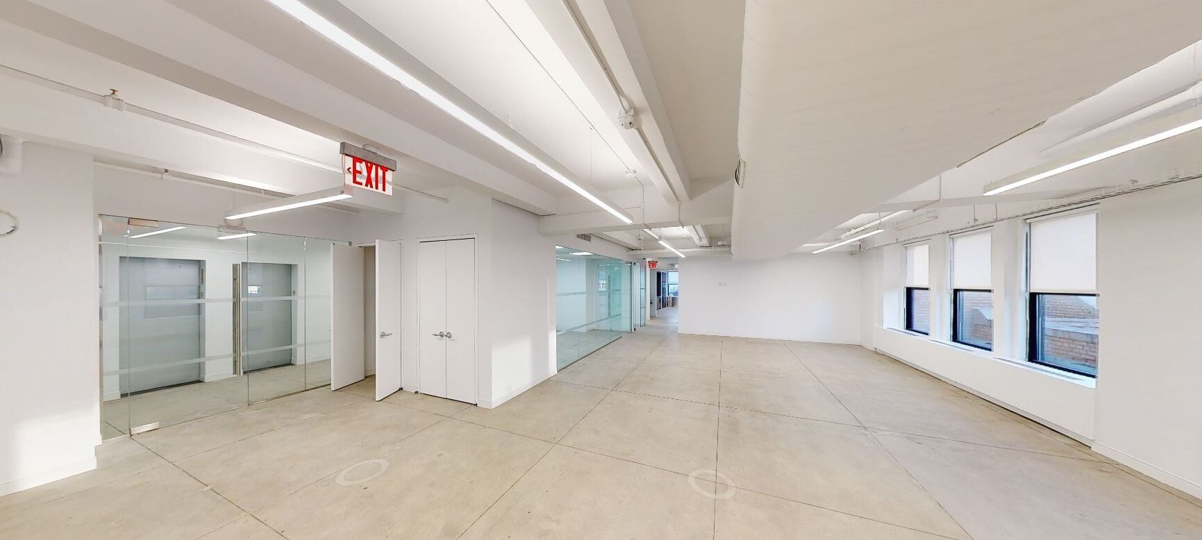
Delivery
Export BIM model (e.g., Revit, IFC)
Provide point cloud and documentation
Handover for design, FM, or renovation use